Welcome
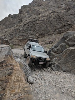
Welcome to Small Adventures landing page. Small Adventures is dedicated to dedicated to outdoor skills and persuits of all kinds. I focus mostly on the technical aspects of outdoor skills and gear. To reach the Blog, just click the SmallAdventures Blog link above.
Expedition Bliss
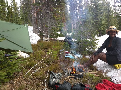
Expedition Bliss is an associated blog in the classic sense about our travels, written by my wife Angie.
Computers Are Hard
As I live a bit of a dual life as an outdoors enthusiast and computer nerd, I write another blog called Computers Are Hard about computer science and other computer issues.
Other stuff
If you came here looking for music tab, or something old odd, check out "other".